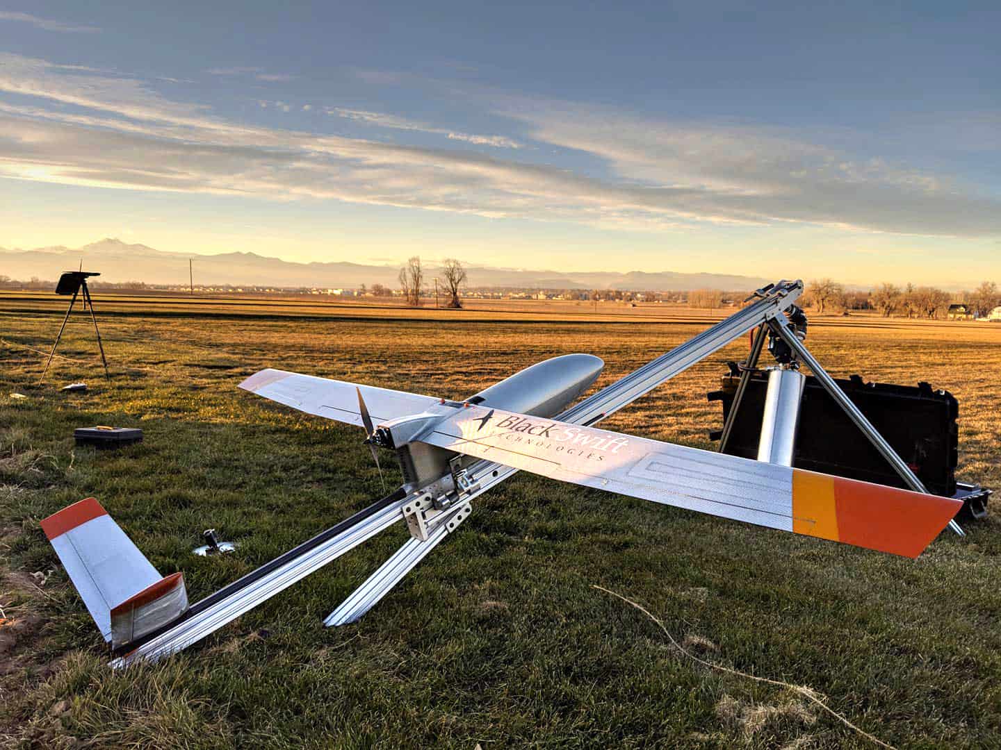
This year, Colorado-based Boulder Black Swift Technologies (BST) released a BST UAV company Launched fixed wing mapping drone for water managment with Soil Moisture Sensor, equipped with a new soil moisture sensor that provides high-resolution images for soil moisture analysis content, which will transform agricultural water management and the speed of emergency response
According to the World Resources Institute, water stress will continue to rise in many parts of the world due to increased water use and rising global temperatures. Global temperatures have contributed to dangerous and costly extreme weather events, including flash floods in places like North Texas and Oklahoma and wildfires in Colorado. Data collected from BST's S2/sensor package through soil moisture mapping has provided life-saving alerts and warnings and predicted wildfires in these vulnerable watershed areas.
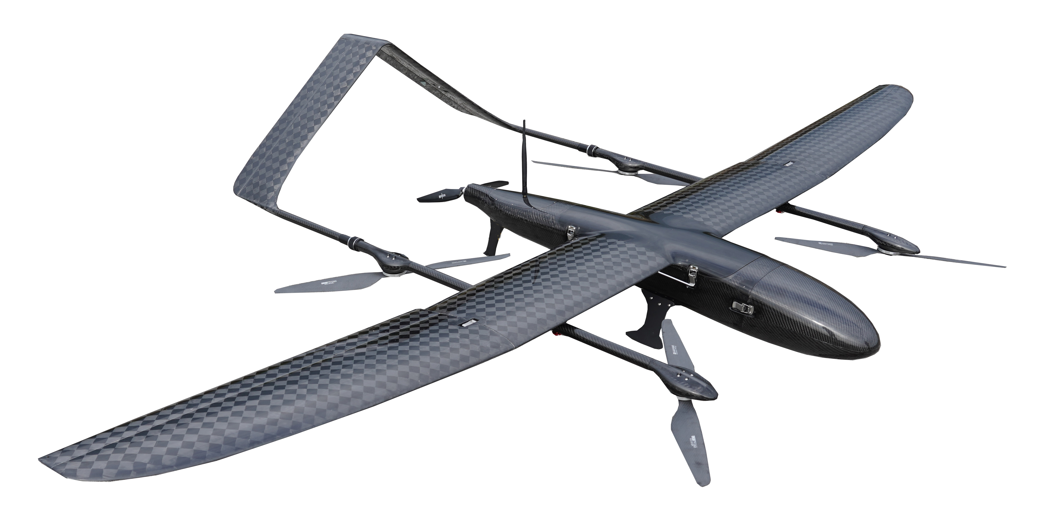
FDG30 Mako shark electric long endurance fixed wing mapping drone was developed by FlyDragon Aviation UAV company, droen frame is carbon fiber mamertial, the weight of droen frame is 6KG only, FDG30 endurance is 6 hours with 1kg payload, it's the one of best VTOL for mapping&surveillance on the mraket. FlyDragon supply PNP and drone frame service.

VTOL UAV 6 hours endurance with 1KG payload for survey & serveillance
Contact: Fly Dragon Drone Tech.
Email: frank at dronefromchina.com
Add: NO. 9 Dayu Road PiDu distric, ChengDu 611730, China