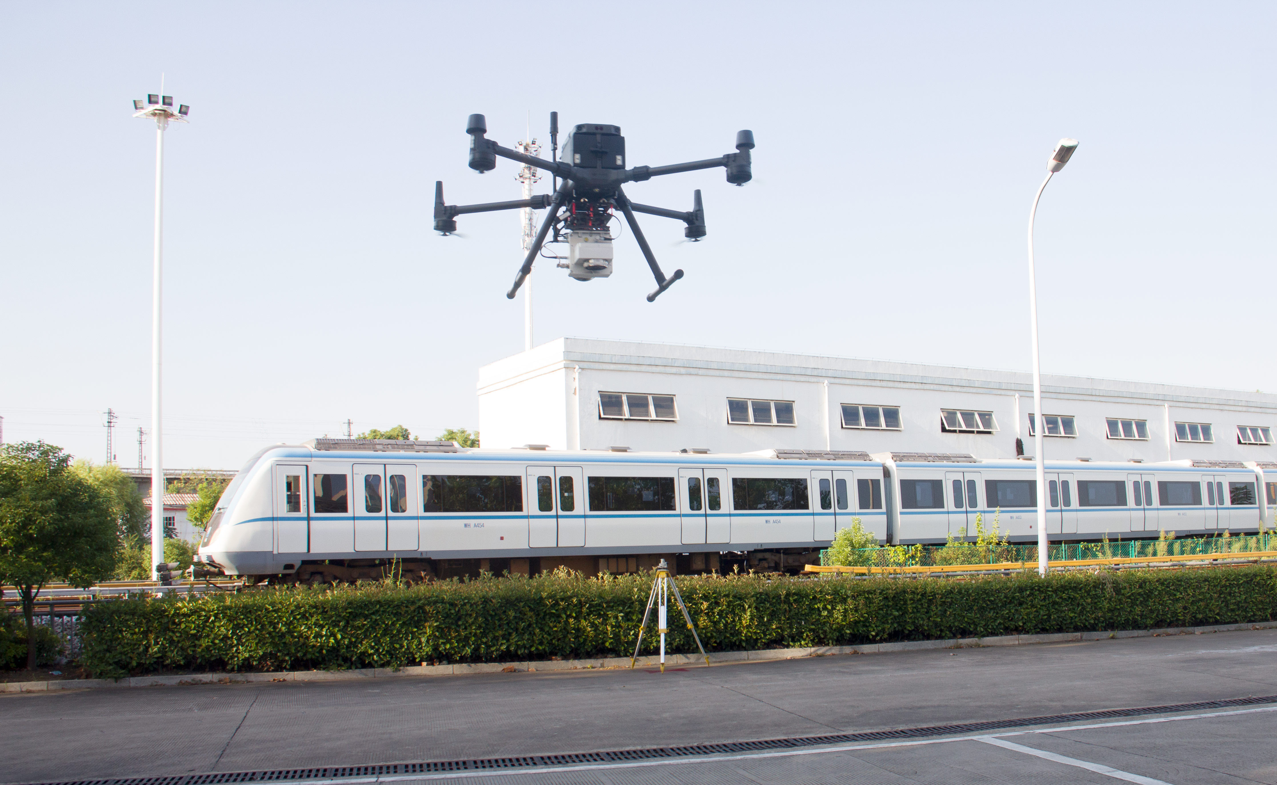
Application of Drone LiDAR in Railway Exploration Project

The drone lidar measurement technology obtains the precise three-dimensional coordinates of ground objects by constructing a high-precision digital ground model. Therefore, the application of airborne lidar measurement technology to railway project exploration can fully meet the application requirements of high-precision line longitudinal and cross-section.
UAV lidar measurement technology is a new measurement technology that integrates laser ranging technology, GPS differential technology and IMU inertial measurement technology. It is built on a carrier aircraft by a variety of system components, such as GPS receivers, inertial navigation systems and laser scanners.
 The calculation of the distance from the laser scanner to the ground is actually based on combining the laser pulses emitted to the ground, receiving the reflected pulses reflected from the ground, and recording the time at the same time to obtain the corresponding distance from the laser scanner to the ground. Of course, the fixed point position and attitude information can also be determined by means of the POS system, thereby obtaining the three-dimensional coordinates of the ground point.

