
The Defense Research and Development Organization (DRDO) of India demonstrated the autonomous take-off and landing capabilities of the Rustom II medium-altitude long endurance (MALE) drone. DRDO announced this milestone on November 13. The agency added that during the trial, Rustom II also demonstrated its ability to utilize India’s GAGAN satellite navigation system.
The UAV has a service ceiling of approximately 35,000 feet, a hovering speed of approximately 67 knots, and a maximum speed of 121 knots. For surveillance tasks, the drone can wander around the station for about 24 hours.
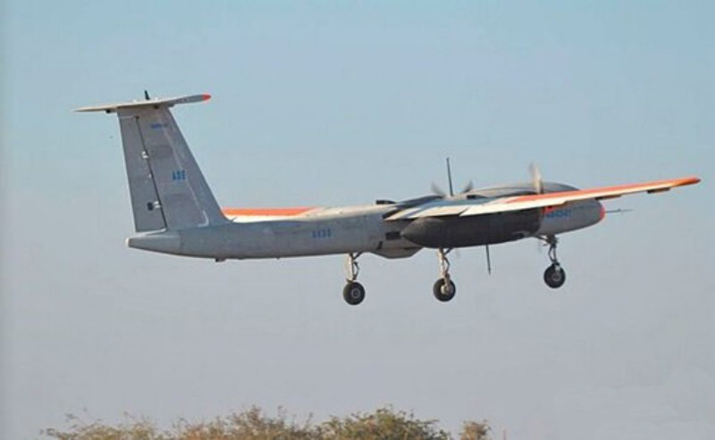
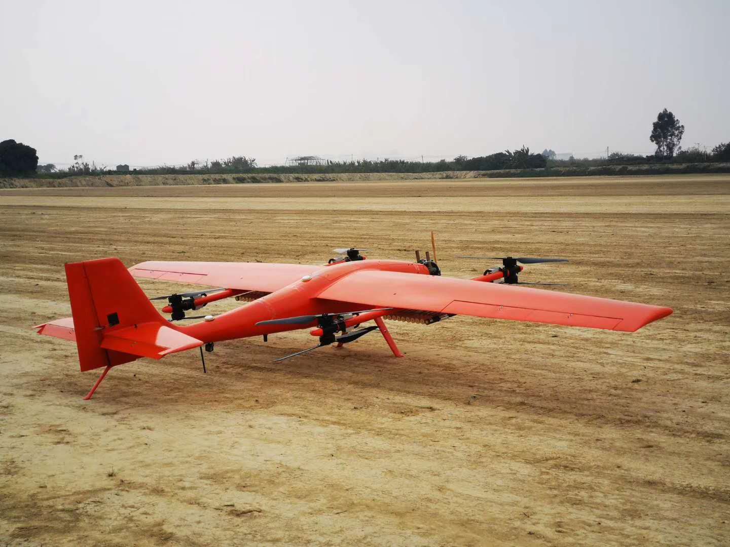
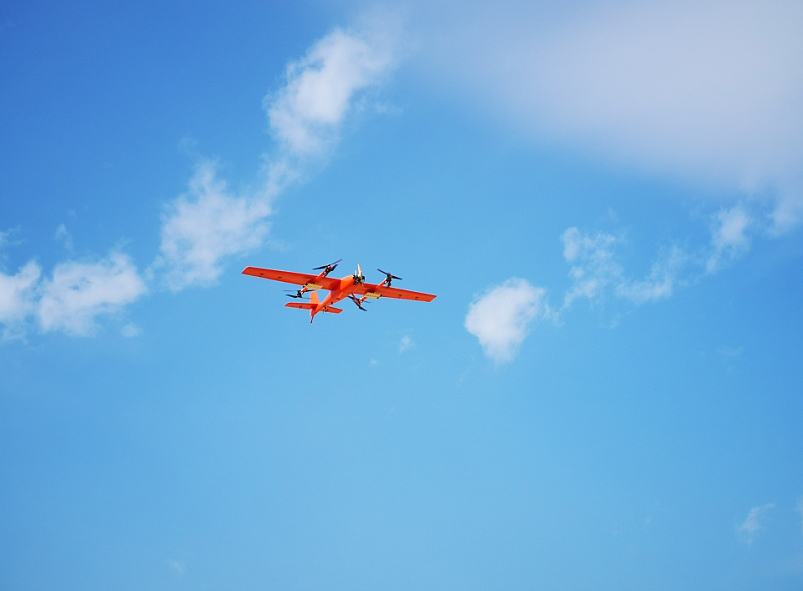
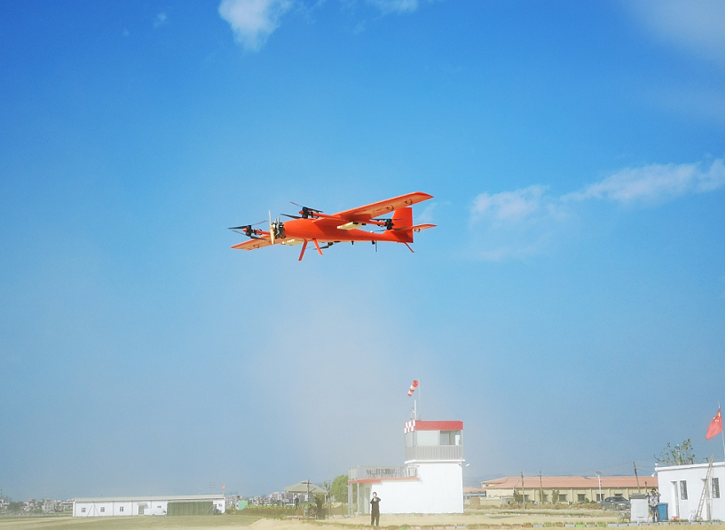
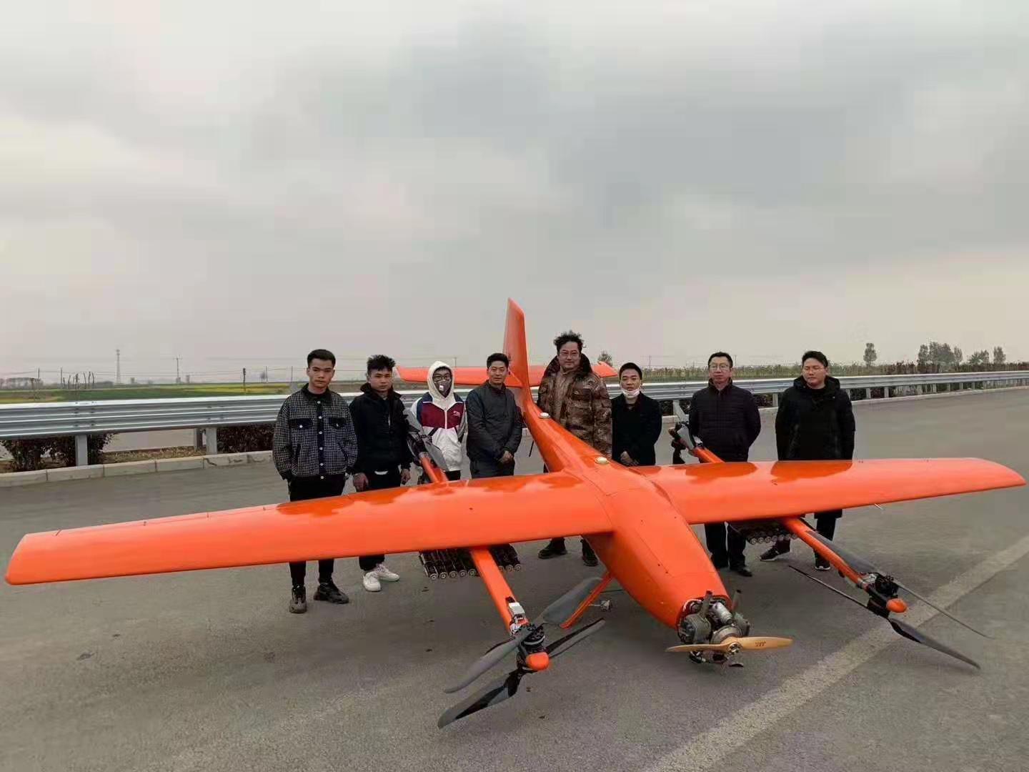
FlyDragon FD180P long endurance heavy VTOL fixed-wing UAV is a large-scale oil-powered long-haul composite wing vertical take-off and landing drone independently developed by our company. The overall layout of the composite wing with fixed wing and four-rotor is used to solve the fixed-wing UAV vertical in a simple and reliable way.
The drone platform has the following features and advantages:
a) Practical and efficient: it has the characteristics of fixed-wing UAV's long flight time, fast speed, long distance and large load;
b) Vertical take-off and landing: with the take-off and landing mode of the rotorless drone, greatly reducing the requirements for landing and landing and airspace;
c) low cost of use: no complicated and bulky launching and recycling equipment, no additional recycling sensors required;
d) Simple operation: integrated special flight control and navigation system, full autonomous flight, operators only need to send flight plans, no professional training and operational experience;
Performance
parameter
Body length
3.35m
Wingspan
6.5m
Maximum takeoff weight
180kg
Maximum payload
40kg
Endurance
8h~10h
Flight radius
300-500km
(depending on the amount of oil loaded)
Maximum control distance
Remote control (manual control): 1km
Ground station control (depending on the distance of the digital transmission): 30km standard
Maximum speed
130km/h
Cruising speed
100-120km/h
Maximum oil load
40L
Lift limit
5000m
Maximum wind resistance
12m/s(6 level winds)
Use environment
-10℃+45℃; anti-light rain
Vertical takeoff and landing
32*8000mAh-6S Li battery
Takeoff and landing mode
Vertical takeoff and landing
FlyDragon FD180P long endurance heavy VTOL fixed-wing UAV
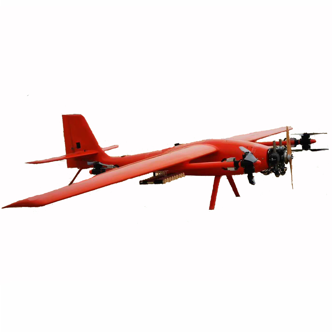
The FD180P long endurance heavy VTOL fixed-wing UAV platform is equipped with industrial-grade vertical take-off and landing fixed-wing flight control and strapdown inertial navigation system, as well as professional aerial aerial survey and inspection ground station software. It can ensure that the drone can fly autonomously and complete the autonomous takeoff without operator intervention. In the flight phase of flight state transition, autonomous cruise, and autonomous landing, it also supports automatic route planning for more than 1000 waypoints and emergency standby plan for 100 waypoints.
Contact: Fly Dragon Drone Tech.
Email: frank at dronefromchina.com
Add: NO. 9 Dayu Road PiDu distric, ChengDu 611730, China