UAV application in agriculture
 The advancement of drone technology has seen many emerging use cases including the expanding use of drones in agriculture. Drones are no longer simply toys for kids. The availability of imaging sensors provide farmers with new opportunities to increase crop yields, minimize crop losses, and thereby maximize their profits.
Drones can fly up to 400 feet. From this low altitude, higher resolution images can be obtained that are superior and cheaper than high altitude aircraft, or satellite imagery. Also, the low altitude eliminates the issues of clouds that satellite imagery has to contend with.
The key functionality that makes crop monitoring highly useful for farmers is the autopilot, which automates agriculture quadcopter flying. Autopilot software can predetermine the flight pattern that will maximize coverage of the crop fields, imaging software can stitch together aerial imagery into a mosaic map. The generated map is key to improving crop performance, and reducing costs. It shows exactly which areas of the crops need further attention. Farmers can spend more time treating their plants, and less time scouting.
Where Drones Can Help
Some farmers are reluctant to utilize drones for their crop management due to initial cost of a agriculture quadcopter. When you consider that the cost for a visual walking inspection or an aerial survey is an average of $2 an acre, the return on the investment of a drone purchase can be met quickly. This can usually be accomplished within one growing season, or even less. The information obtained from the drone can then be utilized to reduce operating costs, and improve crop yields.
There are numerous activities that farmer routinely do, that can be supplemented through the use of drones. To maintain crop health, pests, disease, and weeds need to be identified in order to develop a plan to address these problems.
These are the points that are important to farmers:
Confirmation: Frequently checking that plants are growing at the rate expected
Early Detection: This is key to addressing plant health issues in order to limit the impacts, and provide time to implement a solution
Fertilizer Planning: Crops seldom grow evenly, and distrusting fertilizer based on plant health, instead of spreading evenly and reduce costs.
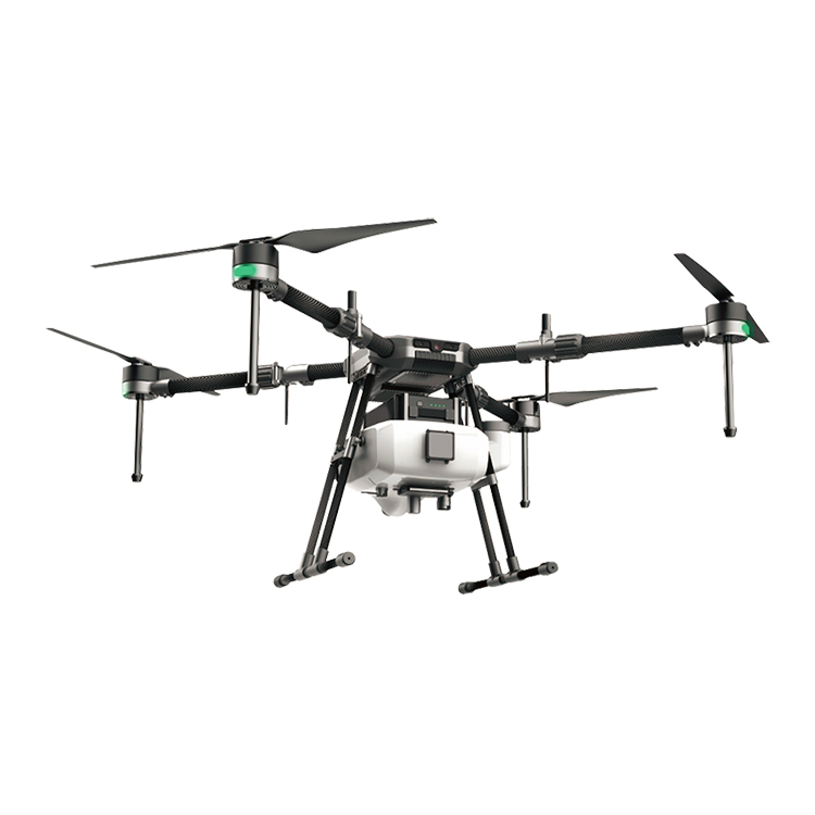
Spraying: drones are also starting to be used to apply nutrients and pesticides to plants, instead of using workers on foot, or tractors. Aerial spraying is much faster and cheaper than using traditional methods, such as tractors.
crop dusting drones have been in operation in Japan for over two decades.

The availability of different camera sensors allow drones to provide even more information than what the human eye can observe. The greater the sensors, the more is the information obtained from the acquired images. The following sensors are available:
RGB (Red, Green Blue): for plant counting, elevation modeling, and visual inspection
NIR (Near infra-red): for water management, erosion analysis, plant counting, soil moisture analysis, and crop health
RE (red edge): plant counting, water management, and crop health
Thermal infrared: irrigation scheduling, plant physiology, and yield forecasting
The Normalized Differential Vegetation Index (NDVI):shows the difference between red light reflected from plants, and near-infrared light. Healthy leaves with an active photosynthesis process absorb red light, and strongly reflect near infrared light. Dead, or unhealthy leaves reflect both wavelengths of light. This property can be used to measure the health of crops. It does not take specialized sensors to obtain this data. A regular camera modified with a simple filter can be made into a near infrared camera.
Drones in Agriculture Summary
Improving crop yield is an ever pressing problem for farmers and always will be, digital and agriculture quadcopter technological help farmers to make large improvements.
This is further complicated with the issues of environmental impact, the need to reduce water waste, eliminate chemical run off, and carbon dioxide emissions. agriculture quadcopter can contribute to addressing these problems to establish sustainable farming processes.
Large farms can benefit from a range of applicable data to increase the amount of food produced from the same area. Doing so will potentially result in an improved financial agriculture performance, and higher profits. Smaller farms can also benefit from digital technology to improve their crop yields.
