Best Software For Agriculture Drone Mapping and Analysis
 Precision Agriculture and Drone Agriculture Mapping is the way to have a close look at your farmland and get higher yields. Precision Agriculture and drone mapping of your field can help you increase the yield and reduce the cost of managing the operations.
If you already own a DJI Drone and looking for best UAV software for agricultural mapping and analysis, You have come to the right page. We will talk about the main features that your drone mapping and analysis software should have and which one you should select.
Things to Consider:
Before Buying a drone mapping software for agriculture, you need to know what features are available and what features you are looking for.
Agriculture UAV collect the data through sensors, If you are looking for budget options for land under 100 Acres, You should use which are the best choice for most farmers and experts, you need to attach NDVI Sensor to get best results.
Every Best Drone Mapping software Has Three Functions:
1- Collect the Data
2- Process the data and create interactive maps
3- Share the data
Many Software Vendors for precision agriculture are offering products as Software as a Service and hosted on the cloud. Which means that farmer have to upload the collected data and get the processed maps which are easy to use and understand.
Best Agriculture Software:
Pix4d Pix4dAg
Pix4d is the market leader in drone mapping software and aerial imaging software solution. They offer a complete solution for precision agriculture. Pix4D UAV software works with all kinds of drones and one of the top agriculture drone maker SenseFly also use Pix4D for data mapping and analysis.
Drones Deploy Field Scanner
Drone Deploy Field scanner is real-time farm mapping software. They have very easy to use agriculture software for automatic flight planning, You can detect threats with NDVI Maps and other analysis tools available.
Drone Deploys integrates with 30+ apps and farm management systems and
Precision Hawk Precision Mapper
Precision mapper is another great drone agriculture mapping software for precision agriculture and they offer an on-demand library of analysis tools. Precision mapper is cloud-based and also offer a Desktop version.
Sentera AgVault
Sentera AgVault is also a good option for precision agriculture software, they have all the features that Pix4D or DroneDeply have. They also have a collection of Sensors for Data Collection for NIR, NDVI, and NDRE.
BotLink Mapper
Botlink Mapper creates high definition maps, Vegetation index maps and also terrain maps to help you find the Wet and dry areas in your farm.
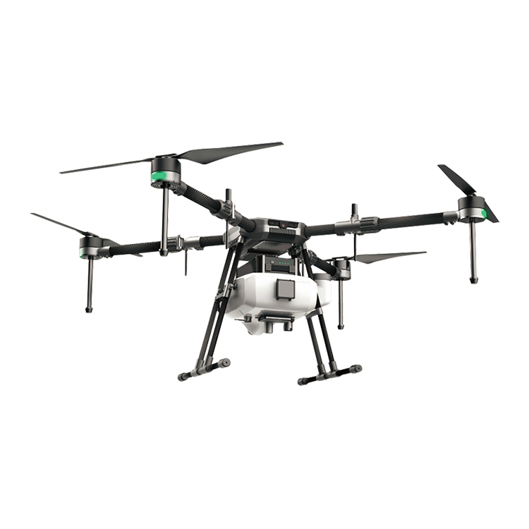
4 rotors plant protection UAV 10KGS agriculture drone sprayer
Intelligent Agriculture is the trend of all over the world. And the intelligent drone act as a important role in this world plan.
Agriculture spraying drone can replace the traditional pesticide sprayer and it's speed is 40times of the traditional sprayer. It will save 90% water and 30%-40% pesticide. Small droplet diameter make the pesticide more well-distribute and improve the effect. At the same time, it will make the people faraway from the pesticide and reduce the pesticide remain of the crop.