The Use Of Unmanned Aerial Vehicles (UAV) In Agriculture
Background
UAV technology has come of age over the past 2-3 years. Confluence of camera technology, GPS, navigation systems and, most importantly, battery technology has driven an exponential interest and use in the technology. There are now approximately 250 Civil Aviation and Safety Authority (CASA) licenced operators in Australia, up from 35 in the beginning of 2013, this article will discuss the use of unmanned aerial vehicles in agriculture.
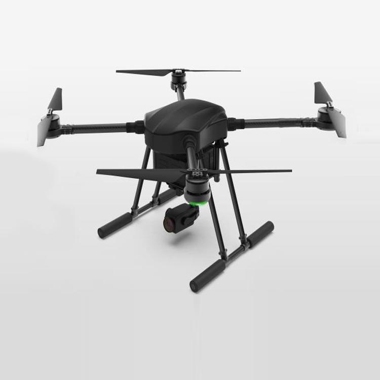
The most commonly referenced UAV is the multi-rotor copter (Figure 1 right). With an endurance of up to 30 minutes and heavy payload capacity these have been used widely in the research sector. In agriculture these multi-rotor UAVs are well suited to small areas, low level flight and heavy cameras. Their use in broad scale commercial agricultural applications is severely compromised by the lack of endurance. Given this constraint the remainder of the paper will focus on the fixed-wing aircraft.
Whilst the vast majority of media has been associated with the use of the multi-rotor copters the real commercial opportunities lie with the fixed-wing aircraft. Capable of carrying a range of cameras and sensors the fixed-wing aircraft can capture photography over about 700ha a day for the small aircraft and over 1200ha a day for the larger platforms. These UAVs therefore offer commercially viable broad scale data capture and presentation in a scaled, referenced aerial map form.
The flexibility of the UAV platforms enables cameras to be exchanged to capture different image bands for use in presentation of true colour, near infra-red or Normalised Differential Vegetation Index (NDVI) maps, with pixel densities of 2-4cm.
This high resolution imaging presents opportunities in mapping crop health, weeds and assets.

What Can Be Achieved?
Images
It is important to view a UAV as a tool to carry a camera to generate data, the UAV itself is not the product. When considering a UAV for a task the following requires consideration:
What would you like to achieve from the final output?
What ground pixel resolution and camera spectral type is required?
What area of coverage requires capture and how often?
What spatial accuracy of the output is required?
What is the timeframe between capture and product delivery?
Once these questions have been resolved there are further considerations such as topography, take-off and landing areas available and economies of scale, it is worth considering whether it is cheaper to hire a manned aircraft for the task.
Custom aircraft (eg. fixed-wing in Figure 1 middle) has a 2.5m wingspan and can carry heavier payloads and multiple cameras over larger areas. However they also require more manual flying ability of the operator and, if multiple cameras or a higher resolution camera is used, it takes longer to process the data. Collecting 2gb of image data per flight is not unusual.
For most agricultural applications the absolute accuracy of the photography generated by the on-board GPS, without any post processing or ground control, is in the order of 1-3m in the horizontal. With ground control in place or the use of one of the new Real Time Kinematic (RTK) GPS enabled aircraft the accuracy is in the 5-10cm range. We have found that, except in research applications on small plots, 1-3m accuracy is suitable for most agricultural tasks that are not seeking elevation data.
Surface Models
A bi-product of the photogrammetry software is the production of a digital surface model. With ground control in place (or the RTK GPS equipped UAV) a 600ha property can be flown in one day and a high resolution (3.6cm point density) surface model produced with a vertical accuracy of 5-10cm. Whilst this is comparable to, or better than Light Detection and Ranging data (LiDAR), it relies on low vegetation cover. Whilst trees can be manually removed, tall grasses or crops pose significant challenges.

Conclusion
Our experience has shown that UAVs can be used safely in the agricultural sector for a range of tasks including monitoring crop health, weed mapping, irrigation/drainage design and farm planning. Where short turnaround time between data capture and delivery/analysis is required the UAV technology provides a valuable tool to assist decision making.
There is no doubt that UAVs will become a regular tool in the effective management of agricultural production throughout the globe. The integration of rapid data capture and turn-around time meets many of the requirements of broad acre agriculture in an age when precision agriculture and automation are becoming the norm. Whilst at present there is significant research in the use of UAV technology, mainly in the development of agricultural specific cameras, there are commercially available products that are working now.
As battery technology and computer processing power improve we will see more unmanned aerial vehicles used in agriculture.
Baby shark VTOL 250 Fixed wing KIT air frame for UAV building

Specs:
Wingspan: 2.5m
Frame Weight: 2.68kg
Fuselage:Composites
Total Weight: 5.5kg(without battery)
Max Take-off Weight: 12kg
Max Payload: 6.5kg(including battery)
Max Flight Time: 2.5 hours
Max Speed: 100km/h
