
Recently, some netizens left a message in FlyDragon website asking what should the ideal surveying drone look like? but the application of drones in the field of surveying and mapping has been relatively mature and extensive. So we were interviewed many practitioners in frontline operations. Among them are pilots and technicians.

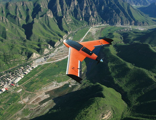
Babyshark VTOL for drone surveying and mapping
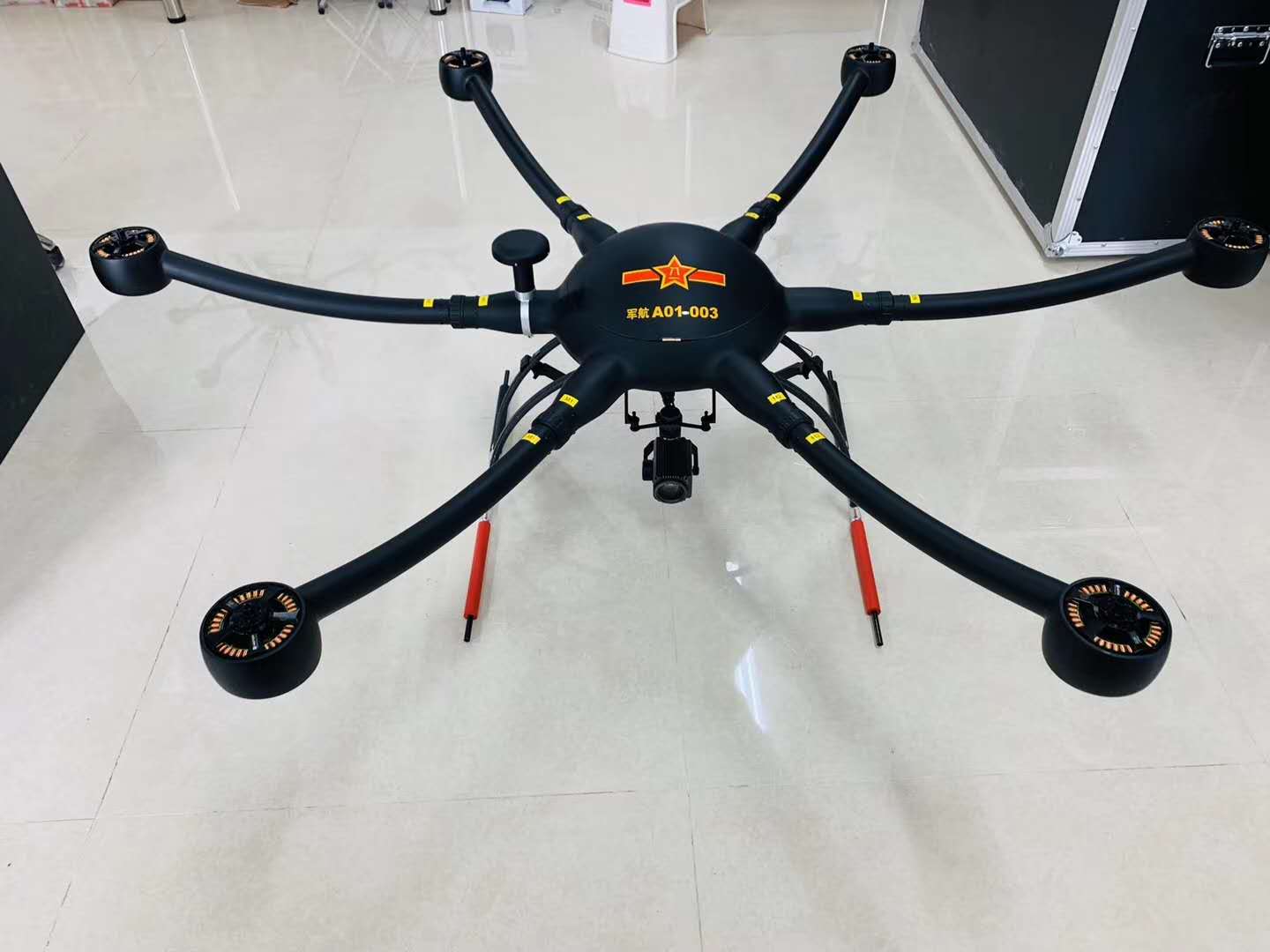
FlyDragon FDL1600 multi-rotor drone for surveying and mapping
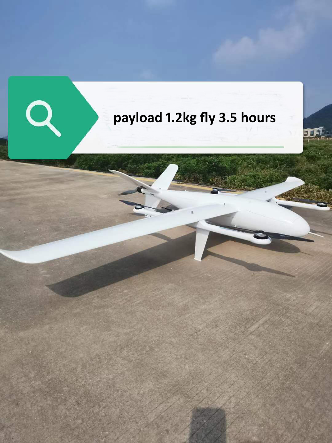
FlyDragon FDG-25 Vtol for survering and mapping
First-line pilots also require the drone to be easy to take off and land. According to reports, in general places, fixed wing can be ejected or thrown off by hand, and landed by parachute. However, in some places where the terrain is more complicated and cannot meet the aircraft's take-off and landing needs, the UAV must have vertical take-off and landing capabilities.
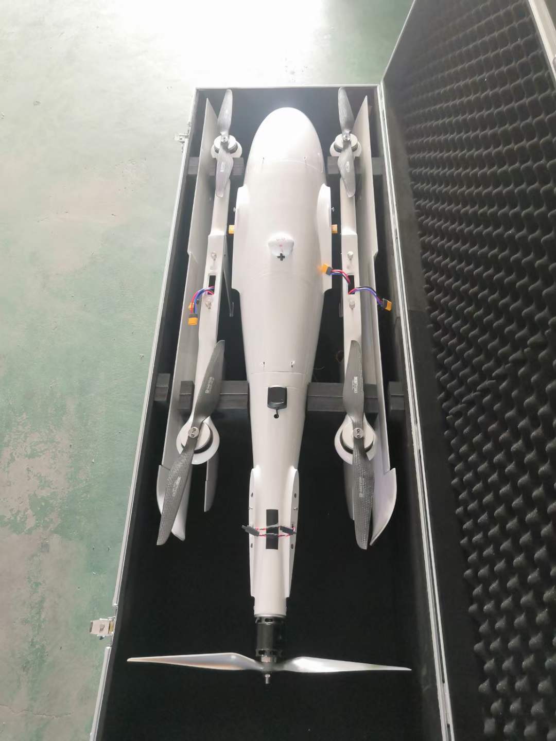

FlyDragon FLY-2160 VTOL is a quick-assemble, reliable high performance VTOL, it is specifically design for mapping. It has the advantage of being cost-effective and easy-to-use. FlyDragon FLY-2160 VTOL features aerodynamic shape with 2160mm wingspan and 1200mm fuselage. Made from EPO and reinforced by carbon tubes that are of high tensile strength and low weight, the whole frame is durable and portable, weighing only 1kg. In order to reinforce the drone, the belly is protected by wearproof PVC layer and two wings are covered with a layer of high-strength Aluminum-plastic Film for protection. It adopts “4+1” motor design that includes 4 VTOL motors and 1 fixed-wing motor, realizing space-efficient VTOL and fast-speed fixed wing task performing at the same time with powerful propulsion system. Besides, it withstands 5.5m/s-7.9m/s(12.5mph-17.5mph) wind, making it possible to perform aerial task in various complex situations. The ESC for fixed wing mode is mounted on the outside for better heat dissipation. Metal buckle is installed in the center of gravity position to prevent loosening and also makes it easier to locate CG; The camera cabin’s neat wiring layout helps to configure the camera without wires getting intertwined.
Specifications: Packing include:
1x Loong 2160 VTOL FrameLoong 2160 VTOL for mapping
Version: Loong 2160 VTOL Inspection
Wingspan: 2160mm
Fuselage: 1200mm
Material: EPO, Aluminum-plastic Film, PVC
Frame Weight: 1kg
ARF Weight: 3.8kg (no battery, no payload)
Max. Take-off Weight: 8kg
Suggested Max Payload: 1.3kg(excluding battery)
Endurance: 95min (1x 6S 25000mAh High Voltage Lipo Battery, no payload)
70min(with gimbal camera)
Recommended Cruising Speed: 18-20m/s
Stall Speed: 12-14m/s
Suggested Take-off Altitude: 0~3000m
Wind Resistance: 5.5m/s-7.9m/s(12.5mph-17.5mph)
Take-off/Landing: VTOL
Working Voltage: 24V
Working Temperature: -10℃-40℃
Carrying Case: 125cm*34cm*34cm
1x Pixhawk Cube Orange Standard Set with Here 3 GNSS
1x DA16S+ Radio Controller
4x VTOL Motor 4118 KV440
1x Motor for Fixed-wing Mode 5052 KV400
4x VTOL ESC 40A Pro
1x ESC 120A for Fixed-wing Mode
3x 17g Servo
2x 9g Servo
2x(pair) 1655 MARKII Matte Carbon Fiber Propeller
1x 1680 Folding Propeller
1x Pitot Tube
1x Carrying Case
1x Assembling, tuned and Flying Test Service

Contact: Fly Dragon Drone Tech.
Email: frank at dronefromchina.com
Add: NO. 9 Dayu Road PiDu distric, ChengDu 611730, China