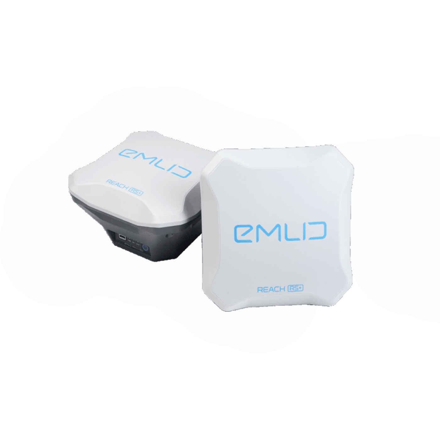
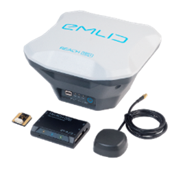
THE REACH M+ COMBINED WITH THE REACH RS+ BASE STATION, AND THE REACH LORA RADIO FOR M2/M+
A complete precision UAV solution for accurate UAV mapping capabilities.
Specifications
---------------------------------------------------------------------
Size:145 x 145 x 85 mm
Weight:690 g
Operating tº:-20…+65ºC
Static horizontal:5 mm + 1 ppm
Static vertical:10 mm + 2 ppm
Kinematic horizontal:7 mm + 1 ppm
Kinematic vertical:14 mm + 2 ppm
Radio:LoRa 868/915 MHz
Wi-Fi:802.11a/b/g/n
Bluetooth:4.0/2.1 EDR
Interfaces:USB, RS232, PPS, Event
Internal storage:8 GB
Correction input:RTCM2, RTCM3
Solution output:NMEA, ERB, plain text
Logs:RINEX2.X, RINEX3.X
GNSS
Signals:GPS/QZSS L1, GLONASS G1,
BeiDou B1, Galileo E1, SBAS
Tracking channels:72
IMU:9DOF
Update rate:14 Hz / 5 Hz
Contact: Fly Dragon Drone Tech.
Email: frank at dronefromchina.com
Add: NO. 9 Dayu Road PiDu distric, ChengDu 611730, China