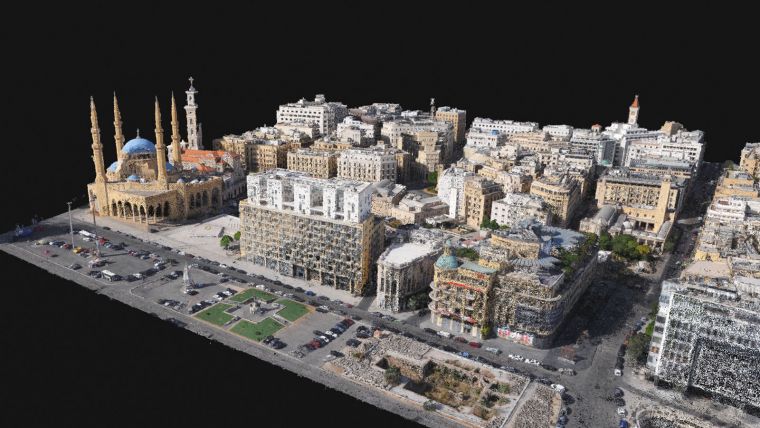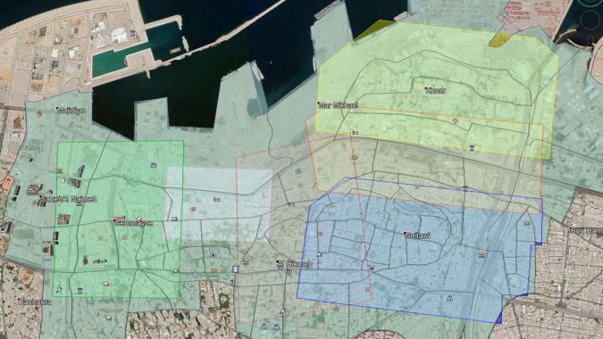
In August 2020, a 2,000-ton ammonium nitrate warehouse in Beirut, the capital of Lebanon, exploded. More than 200 people were killed and buildings 5 kilometers from the blast site were damaged. The scale of the damage was so extensive that it was difficult to know where to start to resume construction. Augment, a Luxembourg-based surveying and mapping company, undertook the mapping project to create a 3D model of the destroyed building from oblique drone photography.
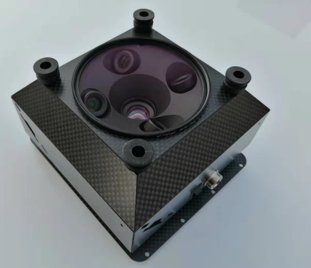
Augment plans to use a drone with an oblique camera to collect images of the city, which have 20MP resolution, and PPK correction to ensure accuracy after image capture. Once the data was processed, it was then processed using Pix4D software, which can merge the images to create a 3D point cloud. The resulting model can then be used to inspect and measure damage and then determine where to start rebuilding.

FD-3DV3 oblique camera for drone 3D modeling
 mapping of terrain environment by UAV is a new application in terrain surveying and mapping in the field of remote sensing, and it is also an important step in 3D modeling in urban construction. The modeling cost can be reduced by the UAV, and the UAV has the characteristics of fast response speed, easy portability, etc., and has a strong adaptability to the environment. This performs 3D modeling analysis.
Contact: Fly Dragon Drone Tech.
Email: frank at dronefromchina.com
Add: NO. 9 Dayu Road PiDu distric, ChengDu 611730, China