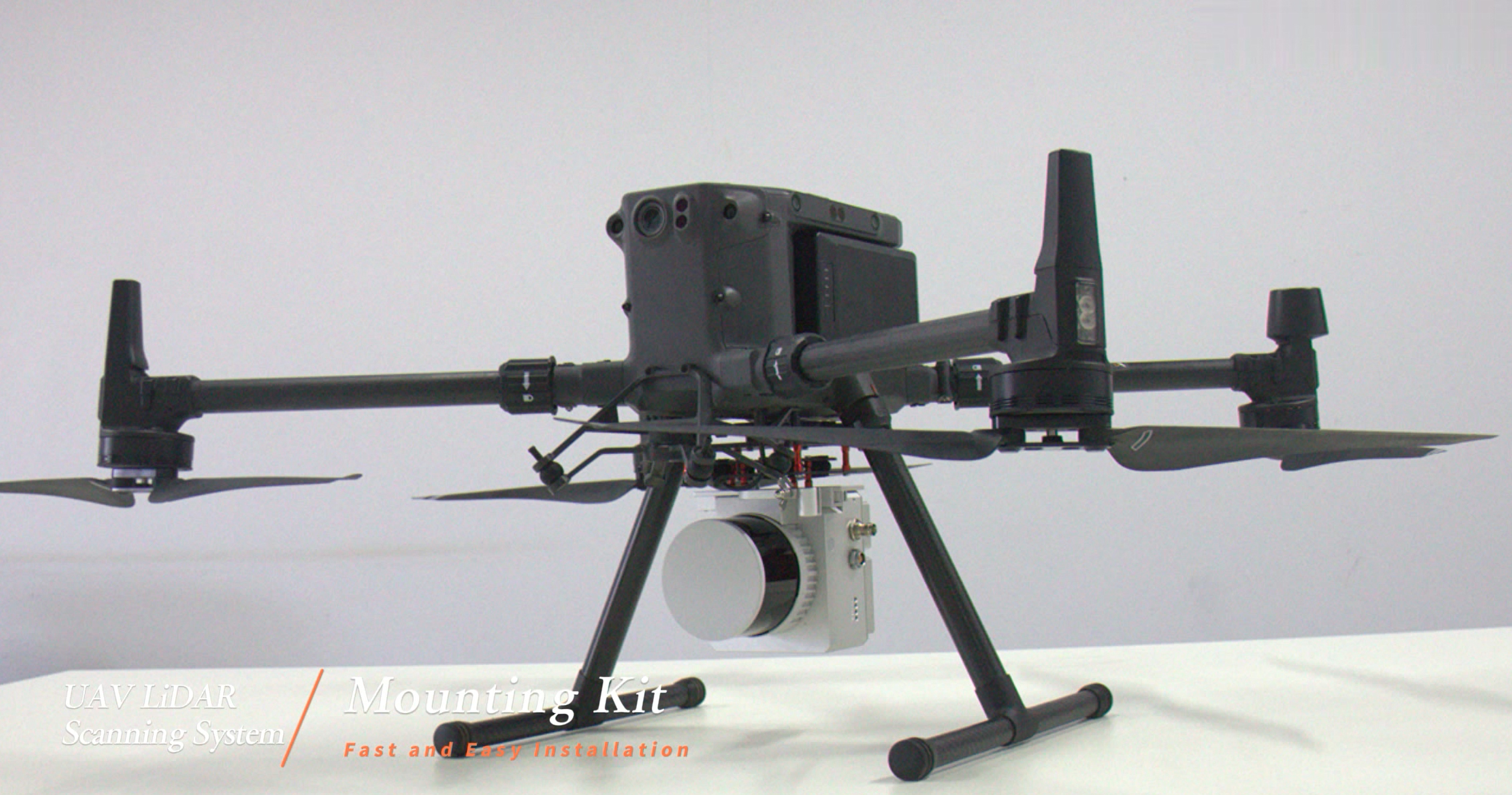
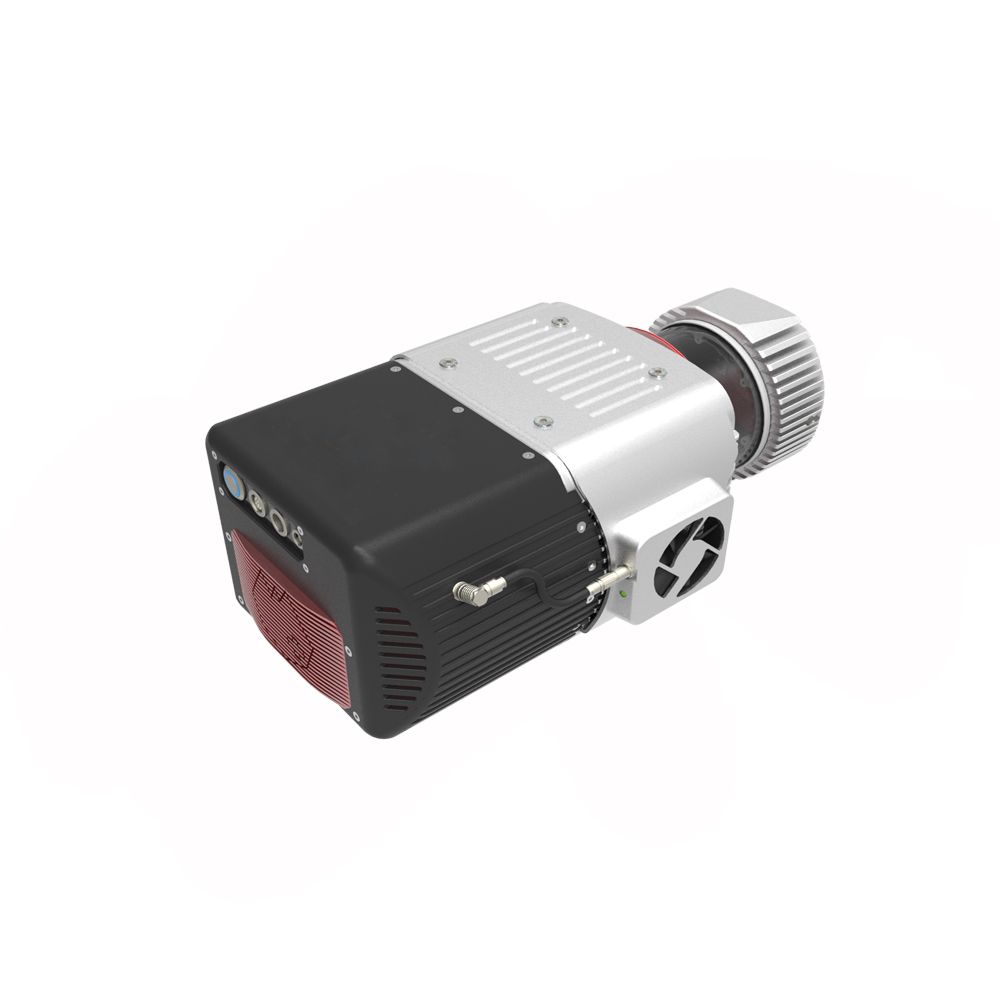
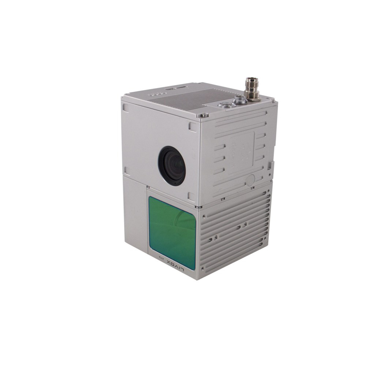
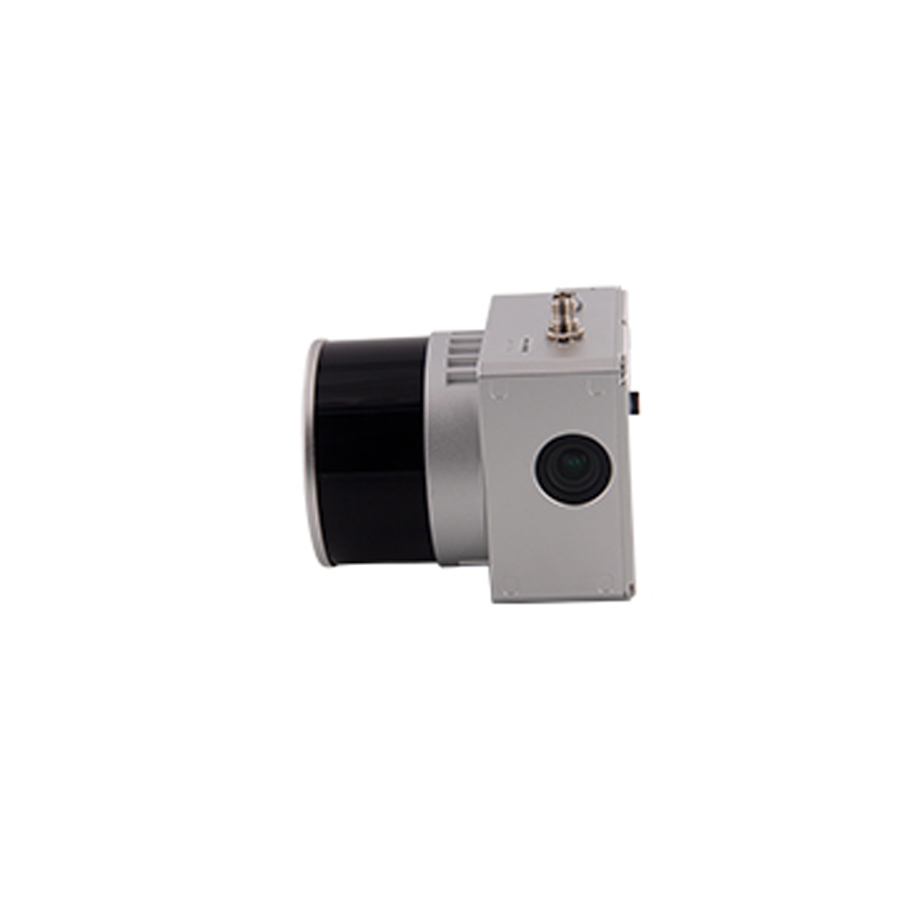
FDG-130X drone lidar system integrates 26M camera and 32-line mechanical laser, dual echoes, good penetration, high operating efficiency, small size, light weight, perfect fit for various mainstream drones on the market, 360 field of view It can meet both airborne and vehicle-mounted use, and is widely used in terrain mapping, power channel inspection, digital city and other industries.
System parameters
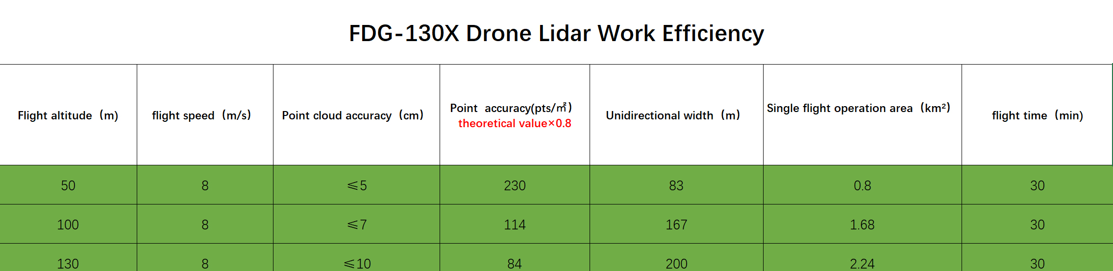
Point cloud accuracy: 10cm@100m
Point cloud density: 64pts/m²@100m@10m/s
Equipment weight: 1.3Kg Product size: 14.2cm*10.9cm*12cm
System power consumption: 20W
Storage space: Internal flash memory 64G+128G SD card
Power Range: 12-24V
Working temperature: -20℃-55℃
Platform: Airborne, Vehicle
POS performance indicators
Model: gSpin210
Data update frequency: 200Hz
GNSS signal type: GPS L1/L2; GLO L1/L2; GAL E1/E5b; BDS B1/B3/B2a
Positioning accuracy: horizontal 0.02m, elevation 0.03m
Pitch angle accuracy: 0.015°
Roll angle accuracy: 0.015°
Heading angle accuracy: 0.040°
Laser performance index
Measuring range: 80m@10% reflectivity, the maximum measuring range is 120m
Ranging accuracy: ±2cm
Number of lines: 32 lines
Horizontal field of view: 360°
Vertical field of view: 31°
Dot frequency: 1.28 million dots/second (dual echo)
Camera
Pixels: 26 million
Field of view: 83°
Shooting Mode: Isochronous/Isometric