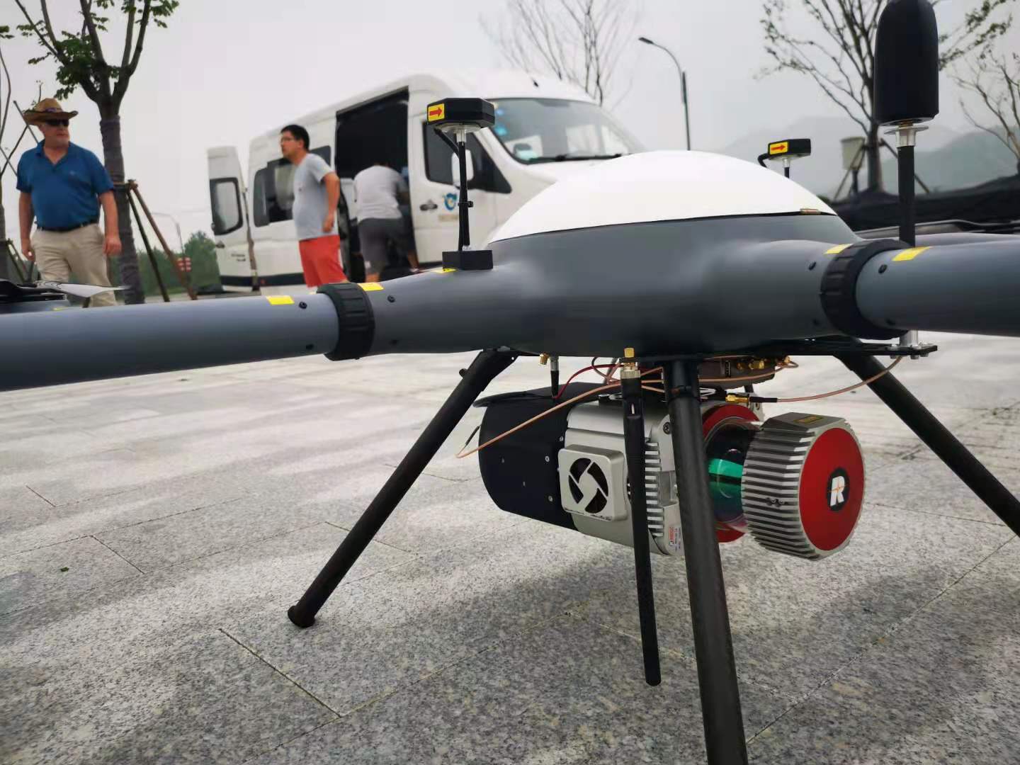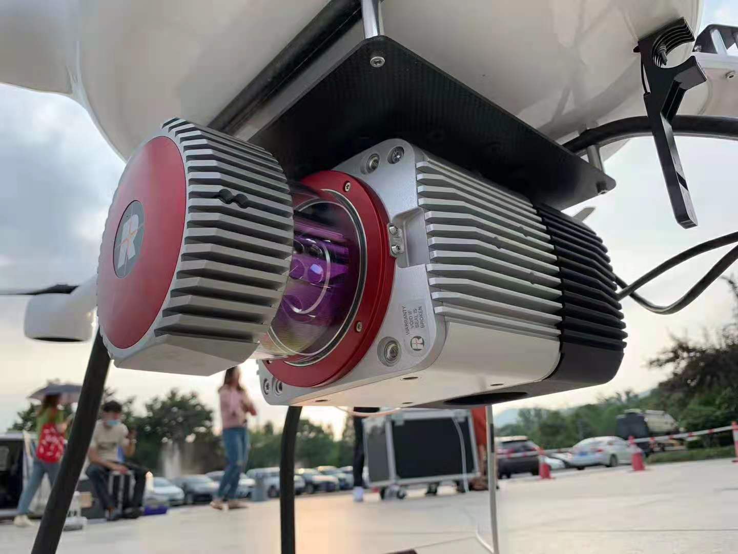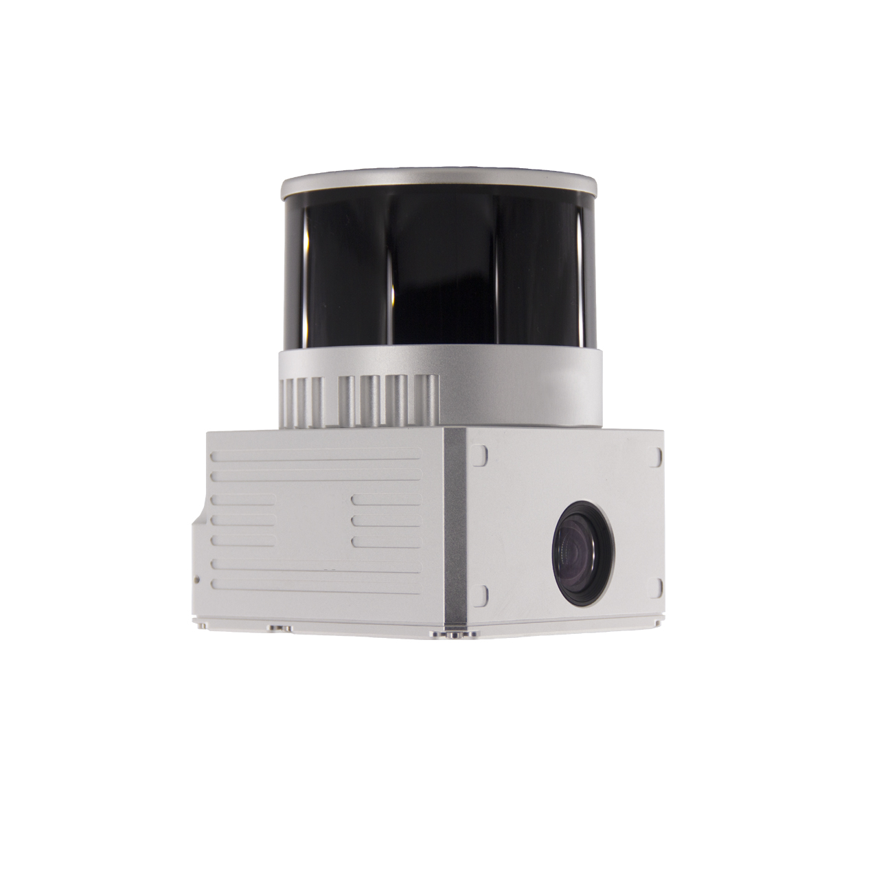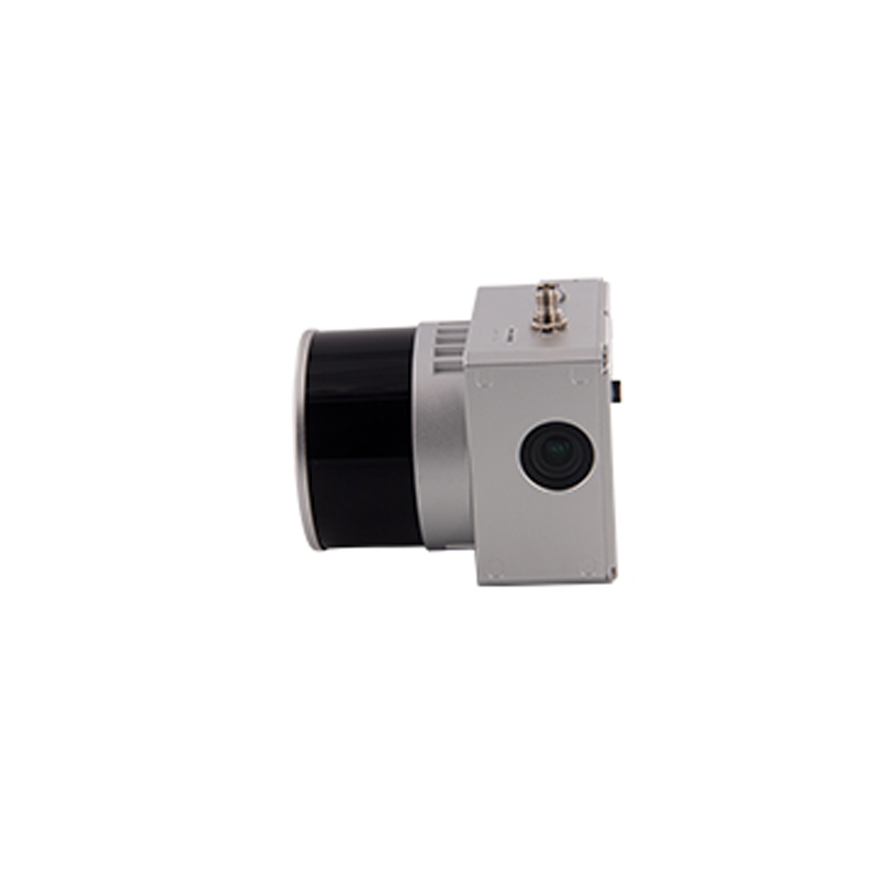
FDL-52A lidar system for mapping
FDL-52A drone lidar system is equipped with Riegl VUX-1LR long range light laser scanner, Applanix high-precision IMU/GPS system APX-20, 20 million pixel camera system, and large-capacity intelligent control unit. The total weight is only 5 kg, which is suitable for A variety of platforms are carried and used, especially vertical take-off and landing fixed-wing UAVs for long-endurance flight and large-area data acquisition. At the same time, GL-52A is also very convenient to convert into an in-vehicle system for various mobile lidar applications.
The FDL-52A drone lidar system has a compact and concise design. All components are integrated into the box. The shell is made of imported hard and wear-resistant light-weight materials. The control port is designed ingeniously. The installation only requires 4 ports, which is convenient and quick to carry with the drone. The equipment is simple to operate, large storage capacity, equipped with intelligent data acquisition software, automatic data acquisition, combined with color point cloud software to quickly obtain large-area high-precision three-dimensional data, it is an ideal choice for large-area UAV lidar surveying and mapping projects.
Specifications:
Working voltage: 14V-30V
Maximum power consumption: 85W
Size: 34.1cmx29cmx12.7cm
Weight: 5kg
Working temperature: -5℃-40℃
Storage temperature: -10℃-50℃
Laser class: Class 1
Wavelength: Near infrared
Laser beam dispersion angle: 0.5mrad
Ranging: 5m~1350m
Maximum scanning angle: 330° (adjustable)
Pulse frequency: 820Khz
Scanning mechanism: rotating prism
Pitch/roll accuracy: 0.015°
Heading accuracy: 0.035°
Sampling frequency: 200Hz
Satellite positioning system: support GPS, GLONASS, GALIEO, BEIDOU
Image sensor: CMOS APS-C
Camera Resolution: 20M
Control unit: Windows 10
Storage capacity: can support continuous 8-hour data collection
Scanning bandwidth: 1500m
Work efficiency: One sortie can complete 100 square kilometers data collection