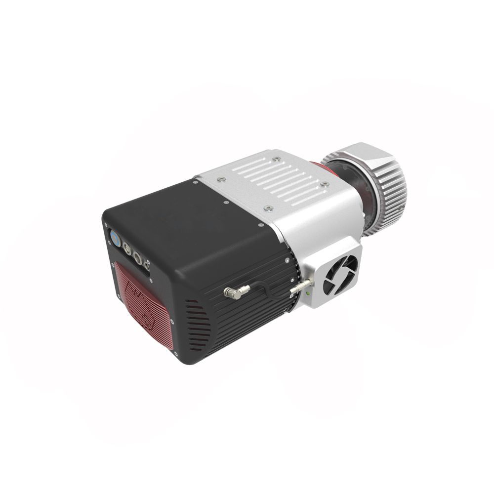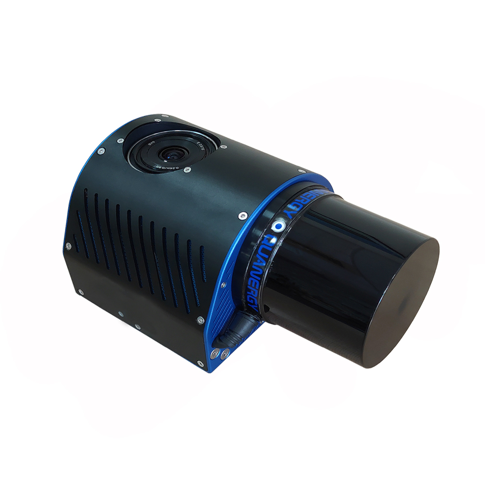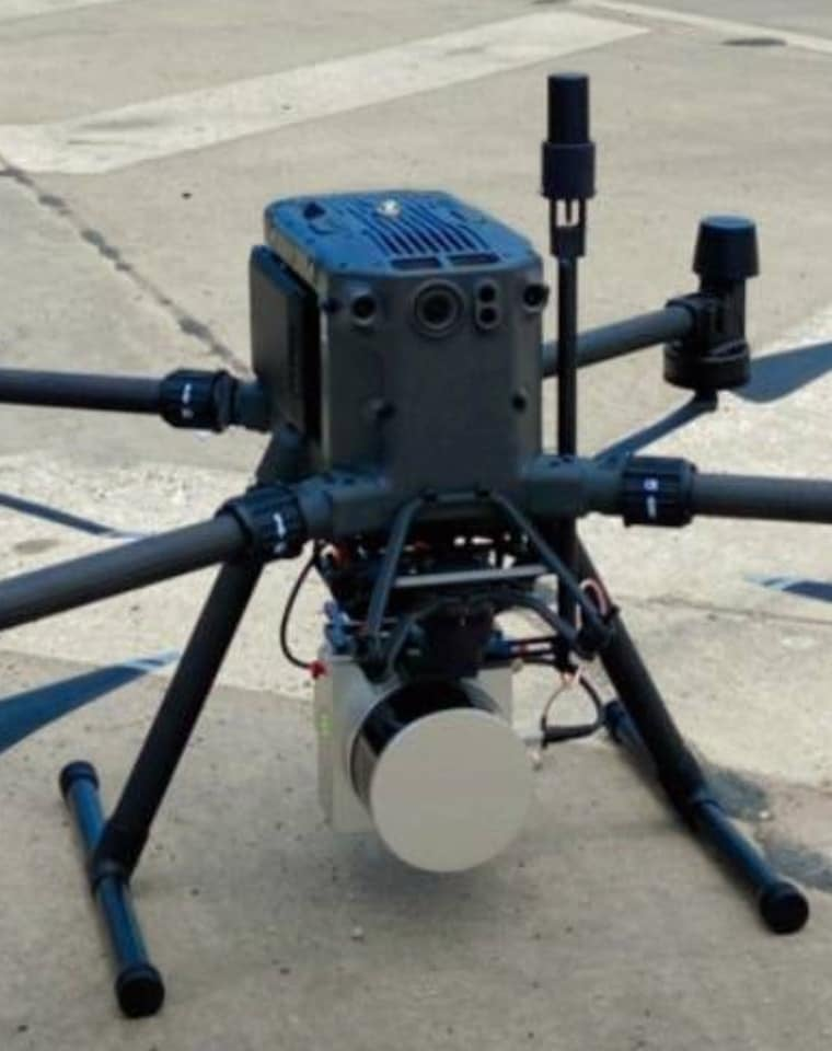

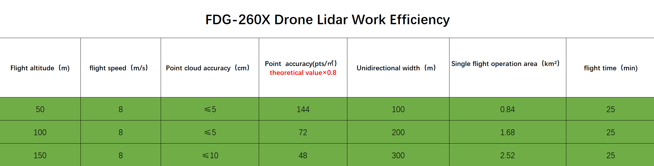
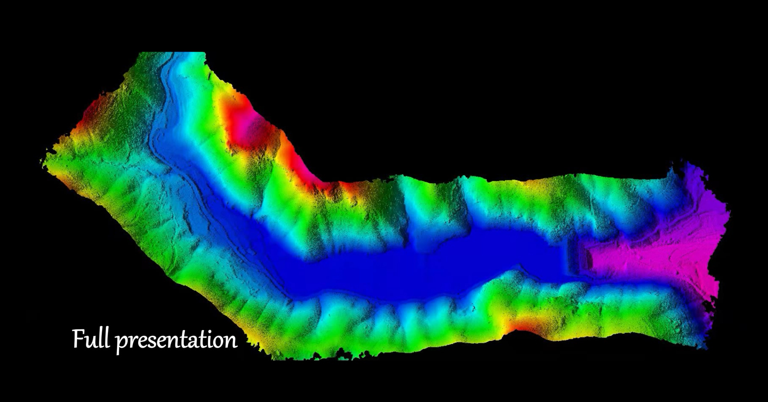
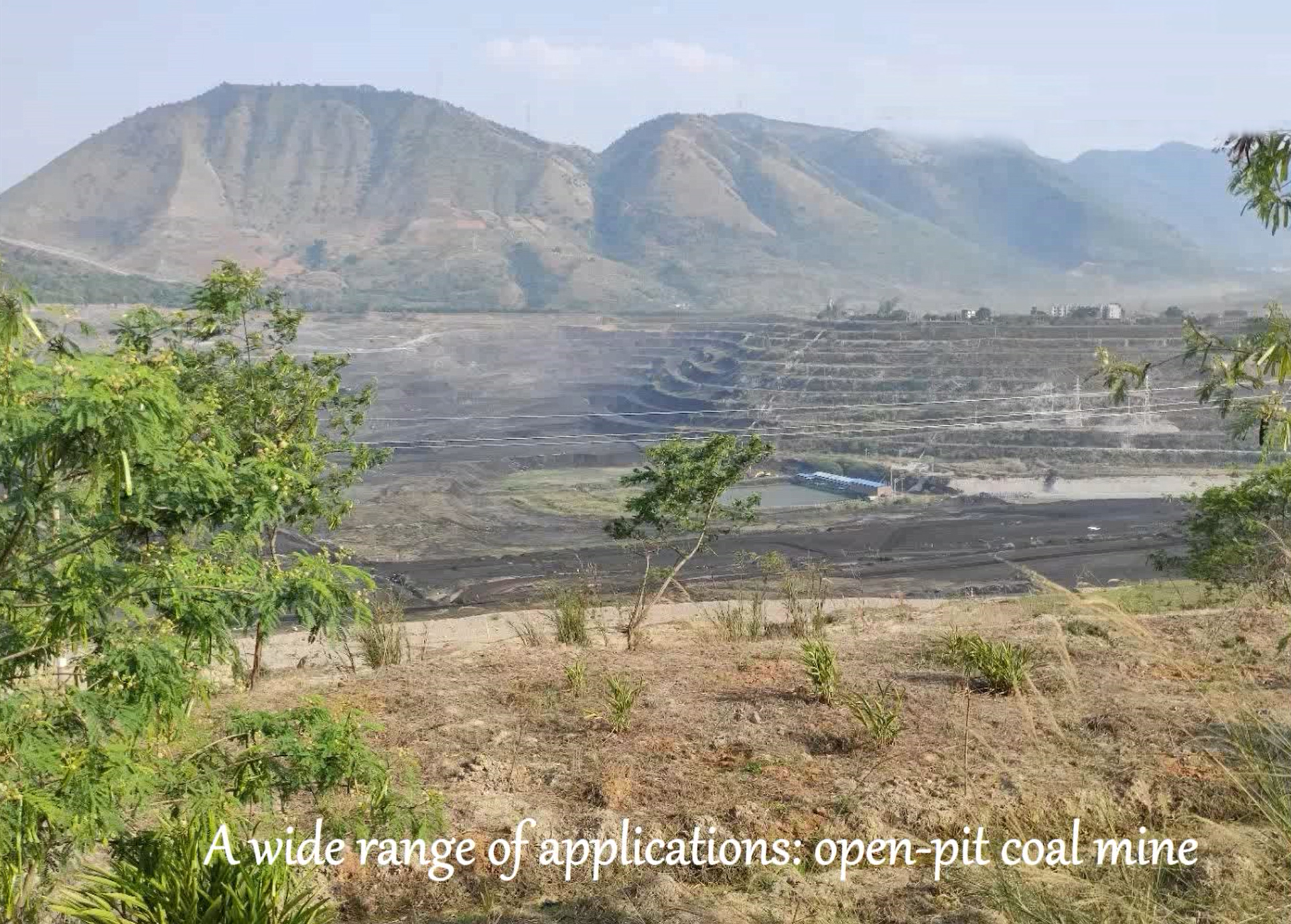
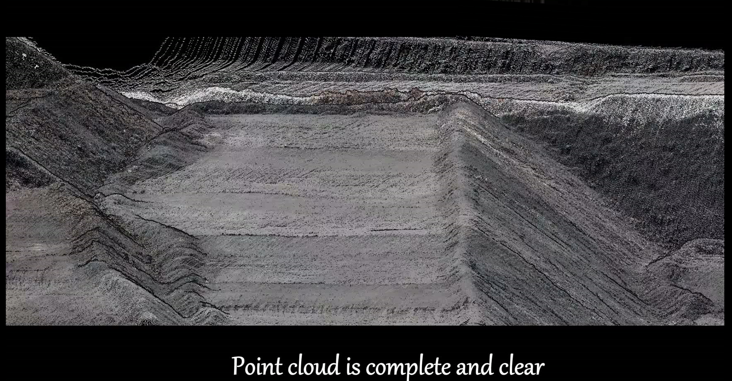
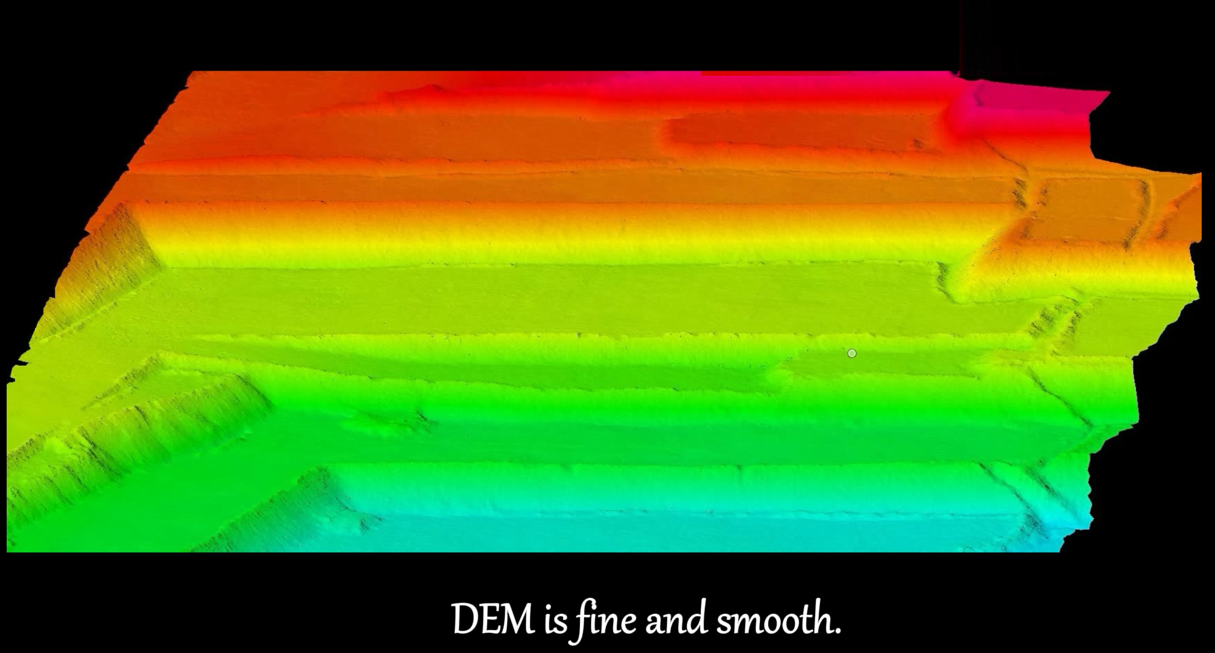
FDG-260X has a maximum measuring range of 300m, and the product weight is only 0.99kg, which maximizes the operation time. The maximum laser point frequency is 1920000pts/s, three echoes, and strong penetrability. At the same time, the camera is deeply integrated, and the point cloud and image are collected simultaneously. . FDG-260X is widely used in terrain mapping, power channel inspection, forestry survey, digital city and other industries, and is suitable for large-scale data collection.
Shooting Mode: Isochronous/Isometric


Contact: Fly Dragon Drone Tech.
Email: frank at dronefromchina.com
Add: NO. 9 Dayu Road PiDu distric, ChengDu 611730, China