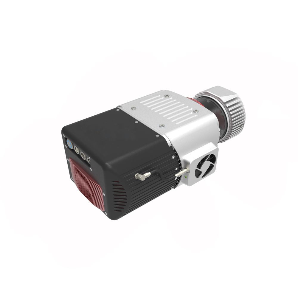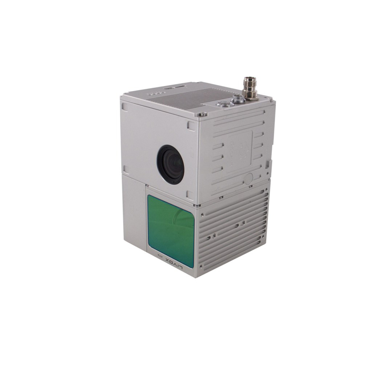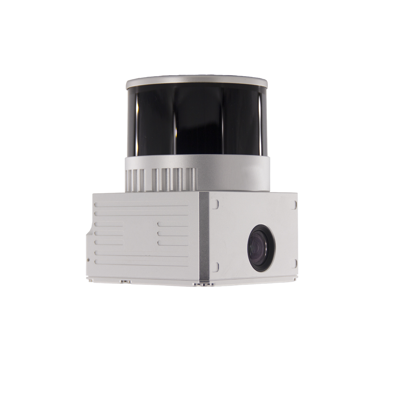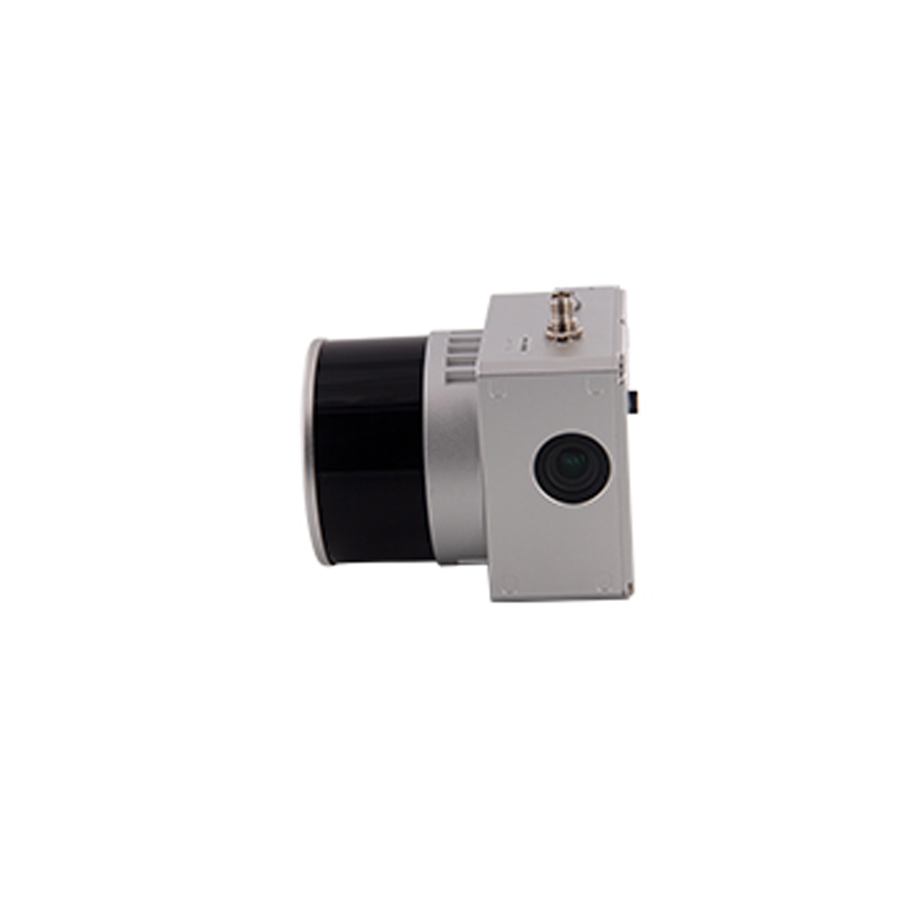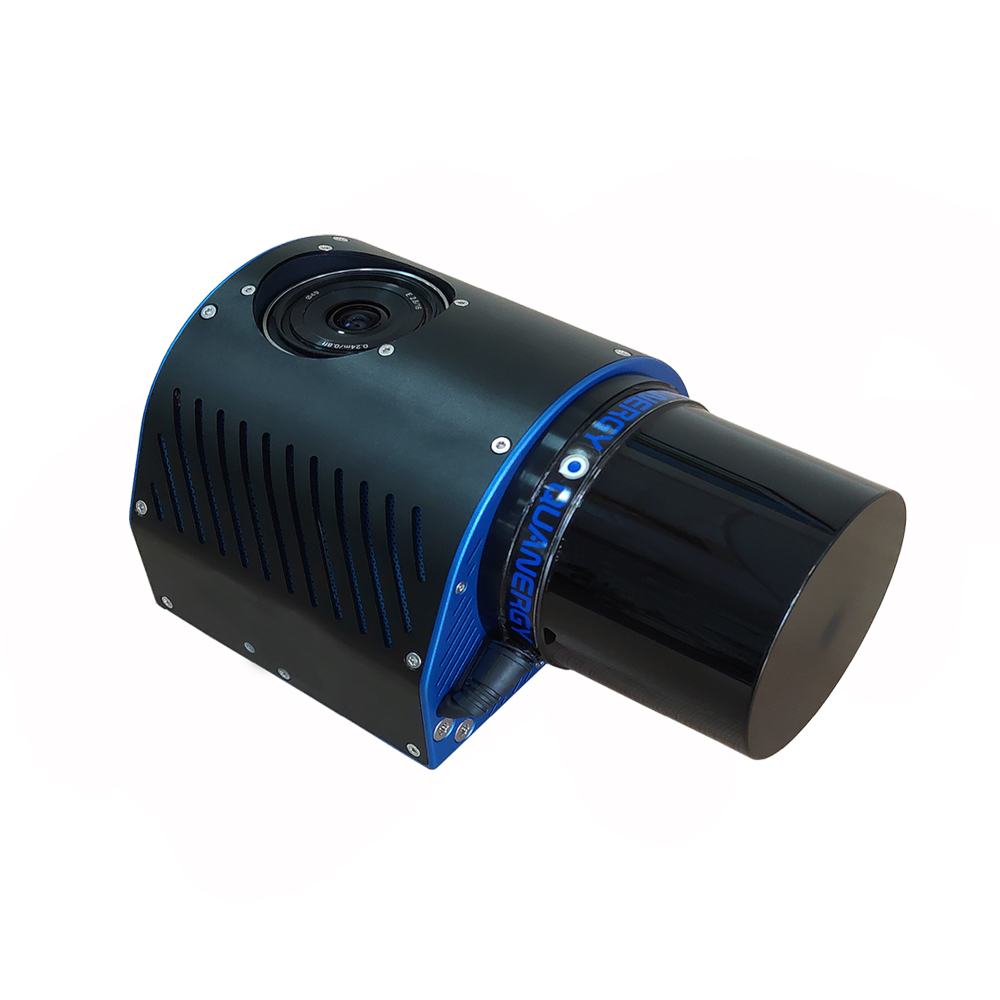
FlyDragon GLQ-A lidar system is specially designed for small-scale surveying and mapping of multi-rotor drones, integrates Quanergy M8 Ultra laser scanner, 20 million pixel mini camera, Applanix inertial navigation system and intelligent system control unit. It is mounted on various multi-rotor aircraft to directly obtain high-definition three-dimensional data. GLQ-A is suitable for applications such as low-altitude, small-area or strip-shaped rapid acquisition of high-precision terrain, accurate three-dimensional models, and power channel inspections.
Typical application:
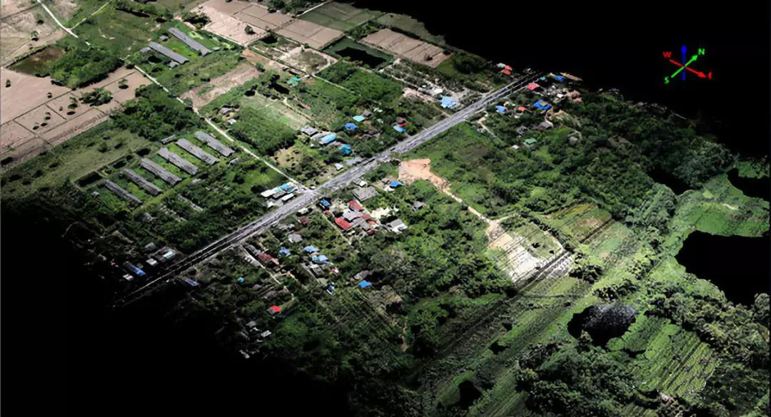
Power line inspection
Small area fast 3D modeling
Topographic Mapping of Vegetation Covered Area
Precision Agriculture Topographic Mapping
Fast and accurate earthwork calculation
Establishment of digital archives of historical and cultural sites
Other corridor mapping
Specifications:
Wavelength: Near infrared
Laser beam divergence angle: 3mrad
Ranging: 0.5-200 meters
Scanning angle: 360 degrees (adjustable)
Pulse frequency: 400khz
Laser dot density: more than 100 dots/square
Pitch/roll angle accuracy: 0.025
Heading angle accuracy: 0.08
Data update rate: 200Hz
Post-processing positioning accuracy: 2cm-5cm
Control system: win 10GL
Storage capacity: 128G
Sensor: CMOS APS-C
Camera Resolution: 20M
Maximum scanning bandwidth: 200m
Working voltage: 24V
Maximum power consumption: 40W
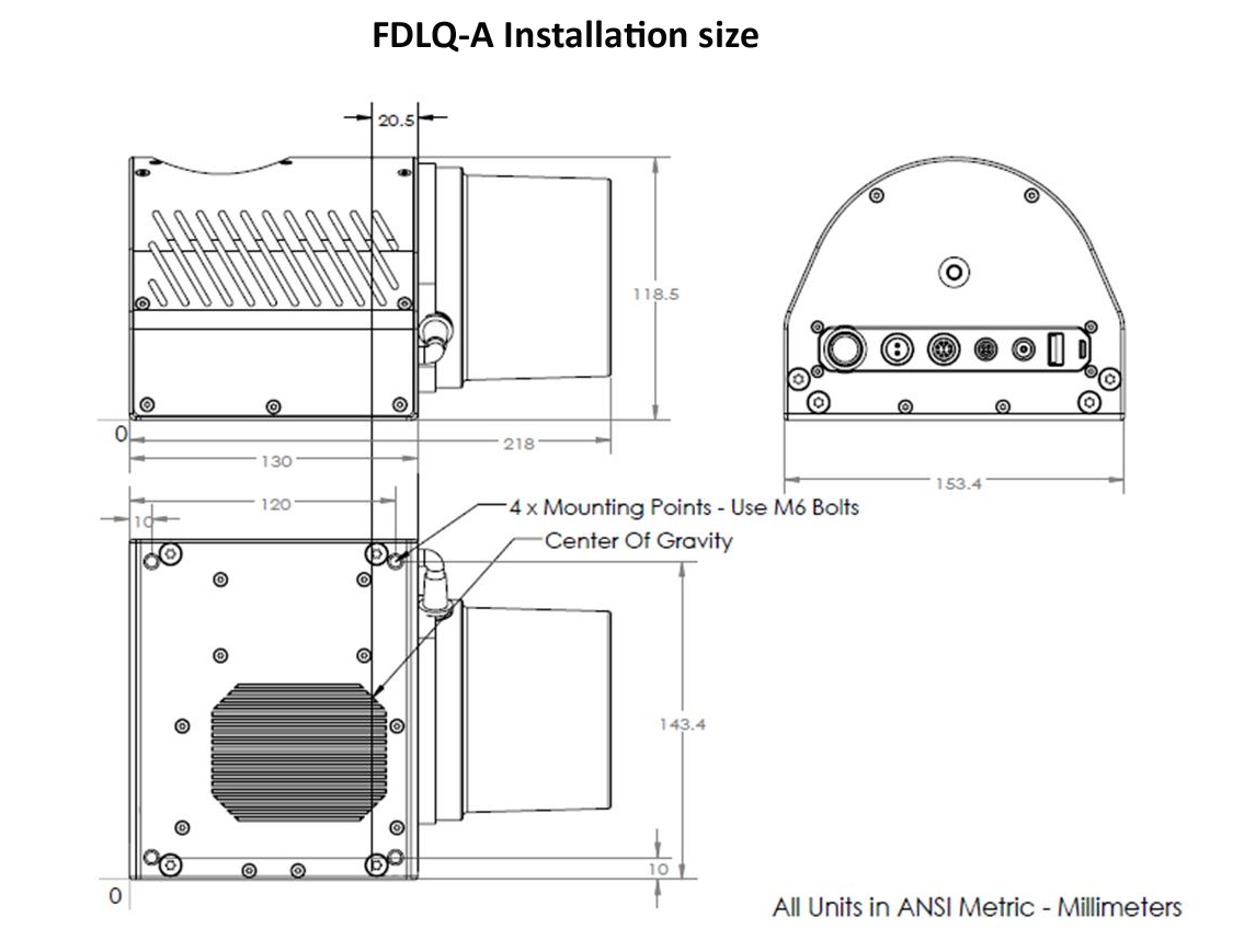
Size: 218mm*154mm*119mm
Weight: 2kg
Working temperature: -20℃-60℃
Storage temperature: -40℃-70℃
Contact: Fly Dragon Drone Tech.
Email: frank at dronefromchina.com
Add: NO. 9 Dayu Road PiDu distric, ChengDu 611730, China