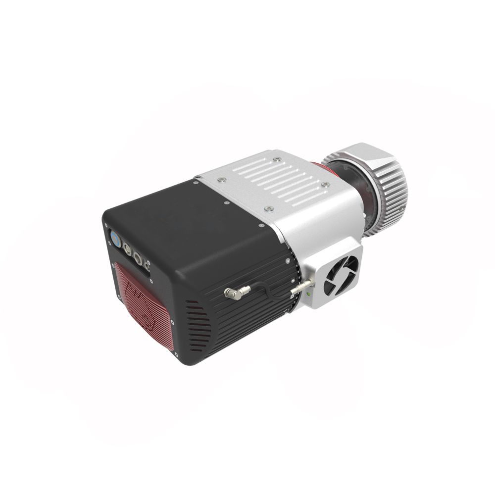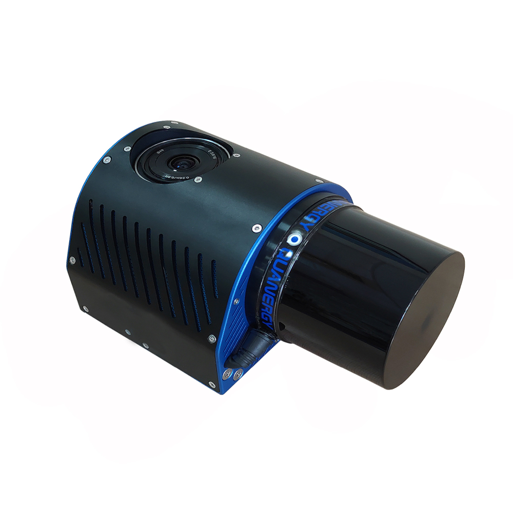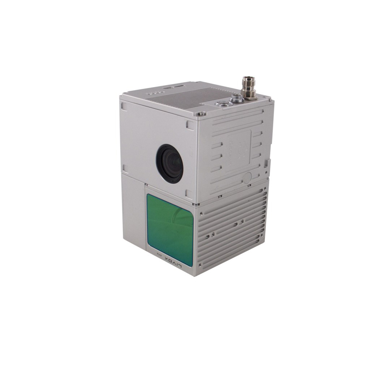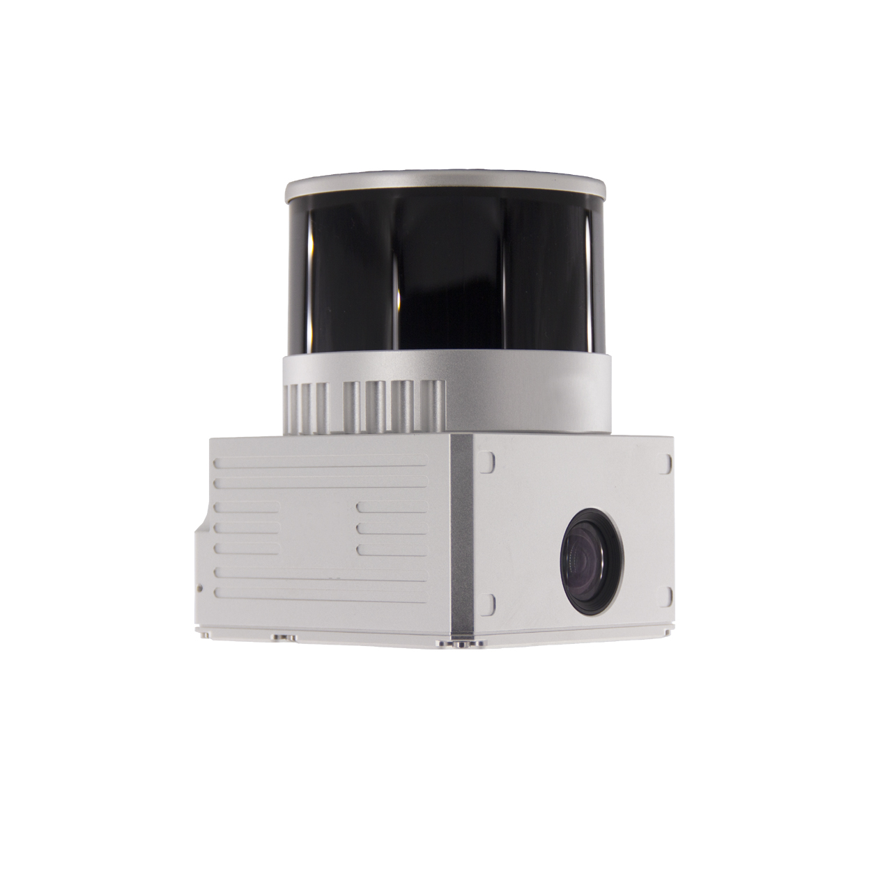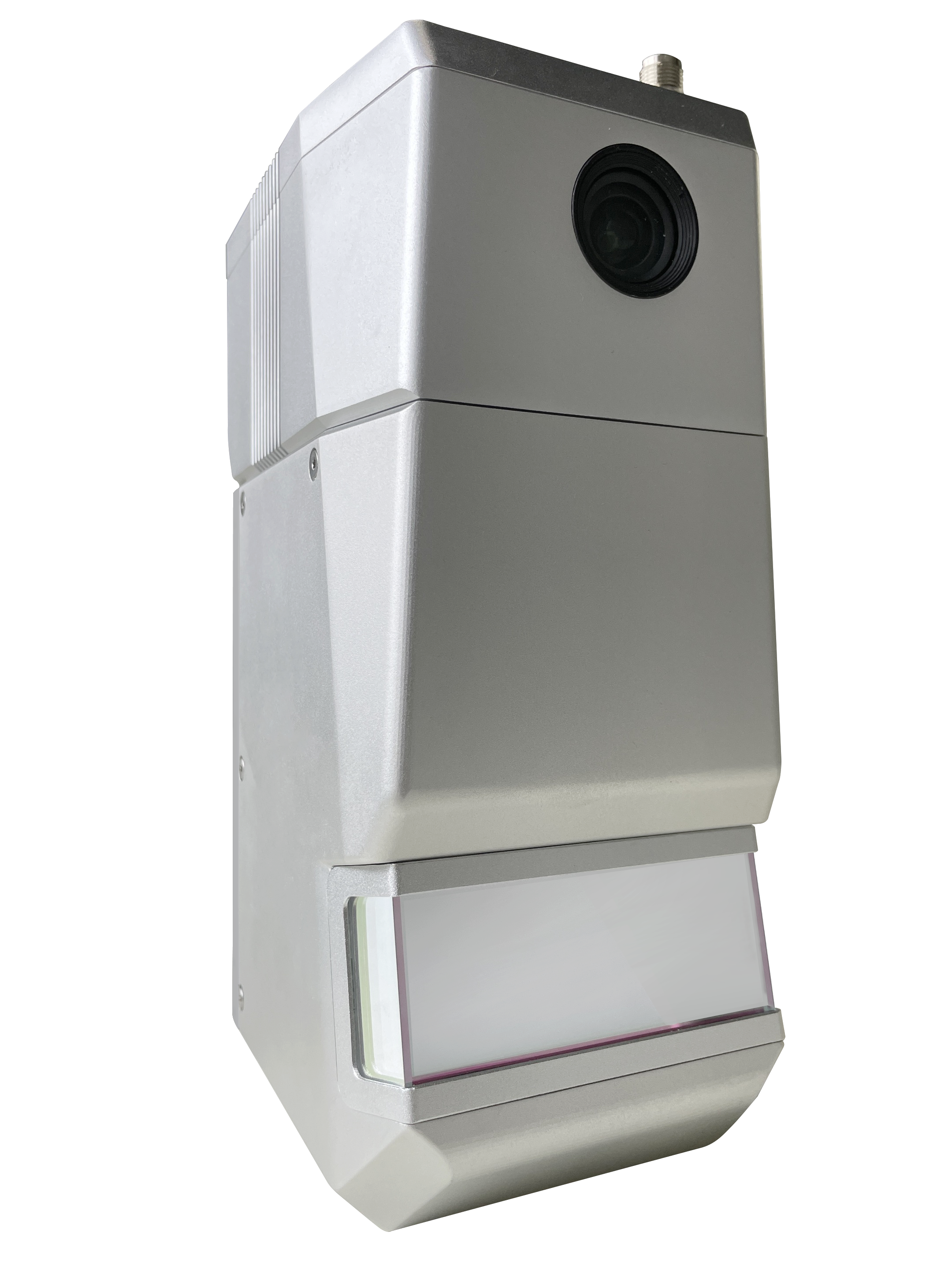
FDG1500 drone lidar system is a lightweight lidar system with fully automated capabilities. Weighing only 2.5KG, the FDG1500 lidar is suitable for fixed drones. Equipped with a 2600M/4500M camera, the FDG1500 can automatically complete color point clouds, providing a high-precision, high-efficiency, intelligent drone lidar solution with less on-site workload. plan. Very suitable for power line inspection, large-area surveying and mapping and other projects
System parameters
Point cloud accuracy: 5cm@200m, 10cm@400m
Point cloud density: 55pts/㎡@300m@10m/s
Storage space: built-in flash memory 64GB + 128GB SD card
Equipment weight: 2.5Kg
System power consumption: 55W
Appearance size: 23.8cm*10.2cm*13cm
Working temperature: -20℃~55℃
POS performance
Data update frequency: 200Hz
GNSS signal type: GPS L1/L2; GLO L1/L2/GAL E1/E5b/BDS B1/B3/B2a
Positioning accuracy: horizontal accuracy 0.02m, elevation accuracy 0.03m
Pitch angle accuracy: 0.003°
Roll angle accuracy: 0.003°
Heading angle accuracy: 0.010°
Laser performance
Maximum measuring range: 1500m
Distance measurement accuracy: ±1cm
Number of laser lines: single line
Scan frequency: 210 lines/second
Field of view: 100°
Point frequency: 500,000 points/second
Number of echoes: 5 times
camera
Effective pixels: 45 million
Shooting mode: Isochronic shooting/Isometric shooting


◆Easy to operate
Supports parameter memory, export and import, simple parameter configuration, wizard-style operation process, and only a few steps of settings to achieve one-click solution.
◆ Support flight belt adjustment
Point clouds are optimized to output color point clouds of 2-3cm, while using high-precision POS results to provide direct geographical information reference for point cloud data.
◆ Strong applicability of data calculation
It can solve the data collected by helicopters, drones, vehicle-mounted, ship-mounted, handheld and other mobile lidar scanning equipment.
◆Wide range of lidar sensor selection
Covers commonly used lidar sensors on the market, including but not limited to Livox, Riegl, Hesai, Luojiayi Cloud and other equipment
◆Diversified solution range
When solving, distance filtering, angle filtering, GNSS time splitting, range filtering, laser line filtering, etc. can be performed to eliminate unnecessary data.
◆ Autonomous coordinate conversion
Coordinate conversion can be performed during the solution process to convert the point cloud to the coordinate system required by the customer.
◆ Fast solving speed
It can quickly solve the data obtained by the lidar scanning system and generate point clouds in LAS format.
Contact: Fly Dragon Drone Tech.
Email: frank at dronefromchina.com
Add: NO. 9 Dayu Road PiDu distric, ChengDu 611730, China